Basildon Borough
)
1595 Area Map
)
1805 Original First Edition OS Map One Inch
)
1888 OS Map
)
Basildon Borough
Basildon Town
)
)
)
)
1888 Basildon: Holy Cross and Moat House
1923 Map of Basildon and Nearby Towns
1939 OS Map of Basildon
1960s Basildon New Town
)
)
Modern Apple Map of Basildon
Modern Google Map of Basildon
Billericay
)
)
)
1893 Map
1923 OS Map
1938 OS Map
Laindon
)
)
)
)
1777 Map of Laindon, Vange, Dunton & Orsett
1919 OS Map of Laindon
1923 OS map of Laindon and Langdon Hills
1938 OS Map of Laindon
Pitsea
)
)
)
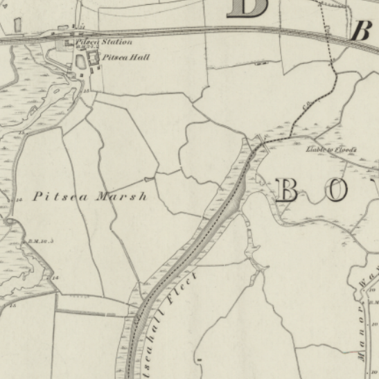
1888 Pitsea Station and Creek
1923 OS map of Pitsea and Vange
1938 OS Map of Pitsea
1955 Map of Pitsea
Wickford
)
1923 OS Map of Wickford